The best thing to have if you want to bike around Halifax, Nova Scotia, is strong legs. The next-best thing, says cycling advocate David Trueman, would be Cycling Guide.
The app, which is currently in development, aims to provide cyclist-focused routes that take into account not just the rider’s experience and comfort level, but hyperlocal geography and route information.
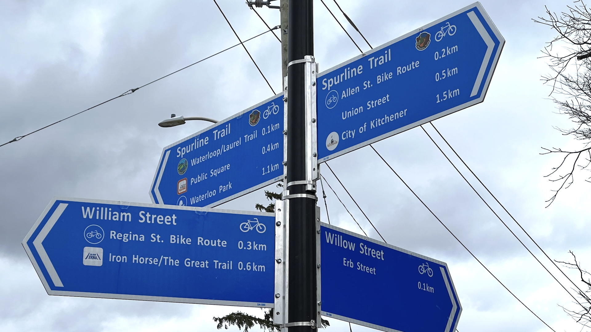
The app is currently being created for Waterloo Region, where Trueman helped get the ball rolling as part of his work with CycleWR. Once Cycling Guide is up and running, though, Trueman hopes it’s next stop will be Halifax – and not just because he recently moved there.
“Every city and town needs a cycling navigation app. They may not know it yet, but they do,” says Trueman.
Unlike the gentle rolls of southern Ontario, Halifax is built on and around a big hill, with more hills scattered around the city for good measure. Refining the app in Halifax could open up many more opportunities in other cities, helping new and experienced cyclists alike.
“In Halifax, it’s all important. Unless someone has an e-bike, they’ll be worrying about the hills, so the navigation has to take elevation changes into account,” he says.
Amy Colford is one of the Zeitspace developers bringing the app to life. Finding a way to include grade changes in its routing considerations has been high on her list of priorities, too.
“I’m from out east and I’ve been to Halifax many times. I’m aware it’s just a hill,” Colford says with a laugh. “In fact, I lived in Fredericton for a long time. I’m pretty sure it would give us some horrific bike routes that are like, ‘Hold on’.”
Having worked on the routing software and then developed a way for it to operate offline, Colford is now tackling the hills issue with the aim to eventually include it in Cycling Guide.
“The altitude can be a tag in the routing data. I just have to get nice elevation data for the city that’s fairly open,” she says. “Most of the work will be figuring out which source works best for us, because we want something open and accessible, but also easy to write.”
Once Colford has built it into the app, the local knowledge will kick in. While Zeitspace is developing Cycling Guide, it partners with local organizations to assess the quality of local routes. After assessment and review, OpenStreetMap (OSM) data is updated if needed, or adjustments are made to the way the data is processed for routing. CycleWR is the partner in Waterloo Region.
Trueman says having a local’s perspective is essential in having the app reach its full potential. “It’s really important in OSM that, when you make changes, you have to know that what you’re doing is true. You can’t just take it on suspicion or hearsay. It’s definitely best to have someone local who can check out the situation,” he says.
Zeitspace partner Mark Connolly is excited about seeing Cycling Guide used outside Waterloo Region. “While we created it with CycleWR for use here where we live, it’s obvious that others will enjoy and value the low-stress cyclist-centric routes.”
Connolly sees Cycling Guide as becoming increasingly important as more and more people embrace biking, whether it’s for health reasons, environmental impact or because they’ve picked up an ebike and finally feel able to face those Halifax hills.
“Cycling Guide is explicitly aimed at people who maybe have less experience on a bike, they are less confident on a bike, they’re not experts on a bike,” Connolly says. “We want this to be aimed at everybody, so that anyone can make a decision to ride their bike in their daily life.”